AccessVis
Project Description
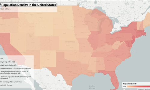
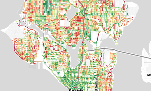
Walkability indices such as walkscore.com model the proximity and density of walkable destinations within a neighborhood. While these metrics have gained widespread use (e.g., incorporated into real-estate tools), they do not integrate accessibility-related features such as sidewalk conditions or curb ramps—thereby excluding a significant portion of the population. In this project, we explore the design, implementation, and evaluation of neighborhood accessibility models and visualizations for people with mobility impairments. We are able to overcome previous data availability challenges by using the Project Sidewalk API, which provides access to 255,000+ labels about the accessibility and location of DC sidewalks.
AccessVis is part of the larger Project Sidewalk initative.
Publications
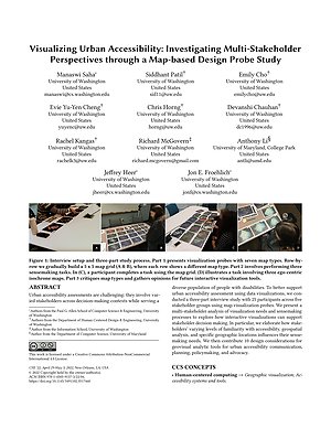
Visualizing Urban Accessibility: Investigating Multi-Stakeholder Perspectives through a Map-based Design Probe Study
Proceedings of CHI 2022 | Acceptance Rate: 24.7% (637 / 2579)
PDF doi Cite Talk Project Sidewalk AccessVis Accessibility-Infused Maps Multi-Stakeholder Interviews to Examine Urban Accessibility

Talks

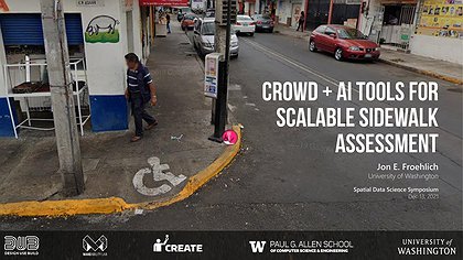
Crowd + AI Tools for Scalable Sidewalk Assessment
Dec 13, 2021 | Spatial Data Science Symposium 2021
Virtual

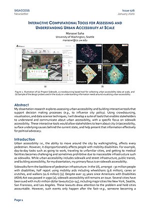
Designing Interactive Computational Tools for Understanding Urban Accessibility at Scale
May 28, 2021 | PhD Generals Exam
Virtual
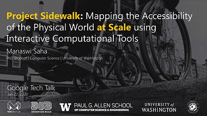
Project Sidewalk: Mapping the Accessibility of the Physical World at Scale using Interactive Computational Tools
Jan 22, 2020 | Google Tech Talk
Seattle, WA
Related Projects