Makeability Lab
  • Home
  • People
  • Projects
  • News
  • Publications
  • Talks
  • Videos
  • FAQ
Transportation Analytics

Quick Info

Project Date Jan. 1, 2010 - Jan. 1, 2012
Keywords: urban informatics, smart cities, urban data mining, transit prediction

About

Analyzing London Underground Usage

(left) The proportion of user-trip observations that have been senn before. (right) The proportion of users who form a round trip loop with their daily travels

Traveller information, route planning, and service updates have become essential components of public transport systems: they help people navigate built environments by providing access to information regarding delays and service disruptions. However, one aspect that these systems lack is a way of tailoring the information they offer in order to provide personalised trip time estimates and relevant notifications to each traveller. Mining each user’s travel history, collected by automated ticketing systems, has the potential to address this gap. In this work, we mine and analyze public transit datasets to (a) predict personalised trip times for the system users and (b) rank stations based on future mobility patterns, in order to identify the subset of stations that are of greatest interest to the user and thus provide useful travel updates
Publications

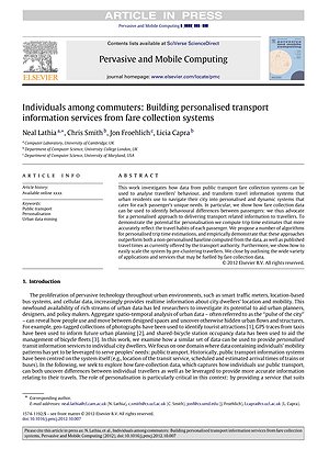
Individuals Among Commuters: Building Personalised Transport Information Services from Fare Collection Systems

Neal Lathia, Chris Smith, Jon E. Froehlich, Licia Capra

Pervasive and Mobile Computing (PMC) 2012

keywords: urban informatics, smart cities, personalization, public transport, urban data mining

PDF | doi | Citation | Transportation Analytics

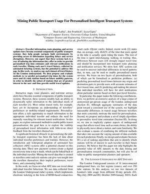
Mining Public Transport Usage for Personalised Intelligent Transport Systems

Neal Lathia, Jon E. Froehlich, Licia Capra

Proceedings of ICDM 2010

keywords: urban informatics, smart cities, intelligent transport systems, personalization, data mining, automated fare collection

PDF | Citation | Transportation Analytics

Talks

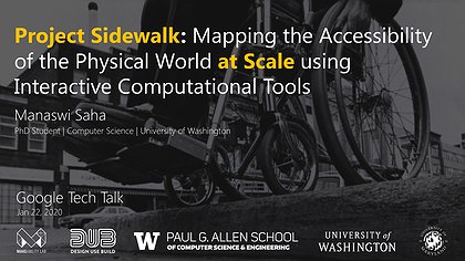
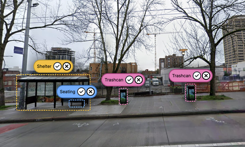
Project Sidewalk: Mapping the Accessibility of the Physical World at Scale using Interactive Computational Tools

Jan. 22, 2020 | Google Tech Talk

Seattle, WA

Manaswi Saha

PDF | PPTX | Project Sidewalk | Deep Learning for Sidewalk Assessment | AccessVis | Accessibility-Infused Maps | Urban Accessibility Evolution | Transportation Analytics

We design, build, and evaluate interactive tools and techniques to address pressing societal challenges in accessibility, sustainability, education, and beyond.

Recent News

Feb. 01, 2022

ASSETS'22 Website Live!

Dec. 13, 2021

Spatial Data Science Symposium: Future of Global-Scale Data Collection and Analysis on Urban (in)Accessibility for People with Disabilities

Oct. 29, 2021

Café Meetup on Portage Bay

Links

  •  >   Home
  •  >   People
  •  >   News
  •  >   Publications
  •  >   Talks
  •  >   Videos