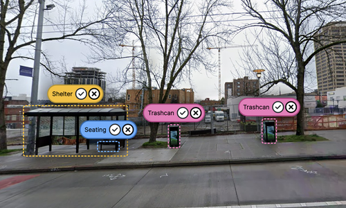
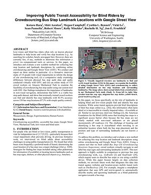
Low-vision and blind bus riders often rely on known physical landmarks to help locate and verify bus stop locations (e.g., by searching for an expected shelter, bench, or newspaper bin). However, there are currently few, if any, methods to determine this information a priori via computational tools or services. In this article, we introduce and evaluate a new scalable method for collecting bus stop location and landmark descriptions by combining online crowdsourcing and Google Street View (GSV). We conduct and report on three studies: (i) a formative interview study of 18 people with visual impairments to inform the design of our crowdsourcing tool, (ii) a comparative study examining differences between physical bus stop audit data and audits conducted virtually with GSV, and (iii) an online study of 153 crowd workers on Amazon Mechanical Turk to examine the feasibility of crowdsourcing bus stop audits using our custom tool with GSV. Our findings reemphasize the importance of landmarks in nonvisual navigation, demonstrate that GSV is a viable bus stop audit dataset, and show that minimally trained crowd workers can find and identify bus stop landmarks with 82.5% accuracy across 150 bus stop locations (87.3% with simple quality control).
