

Project Description
PI / Co-PI
Student Lead
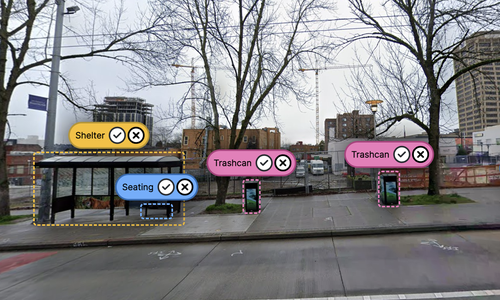
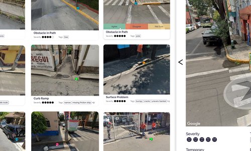
We introduce the “Accessible Area Mapper,” a novel system designed to map accessible pathways using airborne point clouds. By harnessing the 3D terrain information from these point clouds, our system delineates physically navigable areas that are customized to suit individual mobility requirements. This allows for a comprehensive understanding of pathways suitable for active mobility methods, like walking and bicycling. In addition, it can also identify accessible routes for individuals with disabilities, thereby promoting sustainable urban mobility as a whole. While it’s currently in early stages, our work marks a transformative step towards reshaping 3D urban pathway mapping, making strides towards a more sustainable and inclusive transport ecosystem. We demonstrate our system’s preliminary capabilities and discuss its potential.
Funding
Publications
Accessible Area Mapper for Inclusive and Sustainable Urban Mobility: A Preliminary Investigation of Airborne Point Clouds for Pathway Analysis
Workshop Proceedings of SuMob 2023
PDF | doi | Citation | Accessible Pathway Mapping using LiDAR
Related Projects