


Project Description
PI
Student Lead
Funding
Publications

Designing Interactive Data-Driven Tools for Understanding Urban Accessibility at Scale
UW CS PhD Dissertation
PDF | doi | Citation | Project Sidewalk • AccessVis • Accessibility-Infused Maps
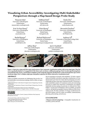
Visualizing Urban Accessibility: Investigating Multi-Stakeholder Perspectives through a Map-based Design Probe Study
CHI | Acceptance Rate: 24.7% (637 / 2579)
PDF | doi | Citation | Talk | Project Sidewalk • AccessVis • Multi-Stakeholder Interviews to Examine Urban Accessibility • Accessibility-Infused Maps
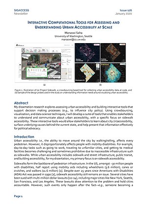
Interactive Computational Tools for Assessing and Understanding Urban Accessibility At Scale
SIGACCESS Newsletter 2020
PDF | Citation | Project Sidewalk • AccessVis • Accessibility-Infused Maps
Grand challenges in accessible maps
Interactions
PDF | doi | Citation | Project Sidewalk • Accessibility-Infused Maps
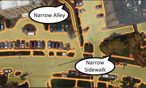
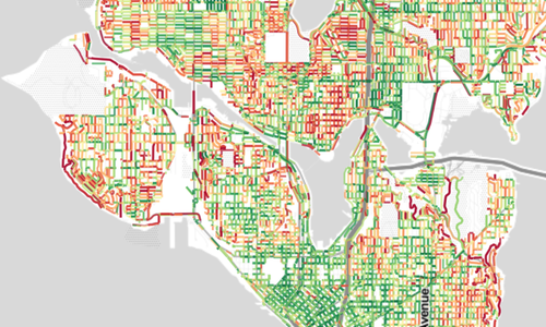
Interactively Modeling and Visualizing Neighborhood Accessibility at Scale: An Initial Study of Washington DC
Extended Abstract Proceedings of ASSETS 2018
PDF | doi | Citation | Project Sidewalk • AccessVis • Accessibility-Infused Maps
SIG: Making Maps Accessible and Putting Accessibility in Maps
Extended Abstract Proceedings of CHI 2018
PDF | doi | Citation | Project Sidewalk • Accessibility-Infused Maps
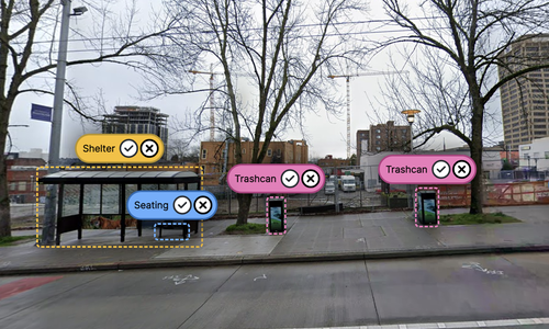
The Design of Assistive Location-based Technologies for People with Ambulatory Disabilities: A Formative Study
Proceedings of CHI 2016 | Acceptance Rate: 25.0% (600 / 2400)
PDF | doi | Citation | Project Sidewalk • Multi-Stakeholder Interviews to Examine Urban Accessibility • Accessibility-Infused Maps
Talks
April 30, 2022 | CHI
New Orleans, LA
PDF | PPTX | Paper | Accessibility-Infused Maps | AccessVis
Dec. 13, 2021 | Spatial Data Science Symposium 2021
Virtual
PDF | PPTX | Project Sidewalk | AccessVis | Accessibility-Infused Maps

May 28, 2021 | PhD Generals Exam
Virtual
PDF | Project Sidewalk | AccessVis | Accessibility-Infused Maps
Jan. 22, 2020 | Google Tech Talk
Seattle, WA
PDF | PPTX | Project Sidewalk | Urban Accessibility Evolution | Transportation Analytics | Deep Learning for Sidewalk Assessment | AccessVis | Accessibility-Infused Maps
Oct. 9, 2018 | Change Seminar
University of Washington, Seattle
Related Projects